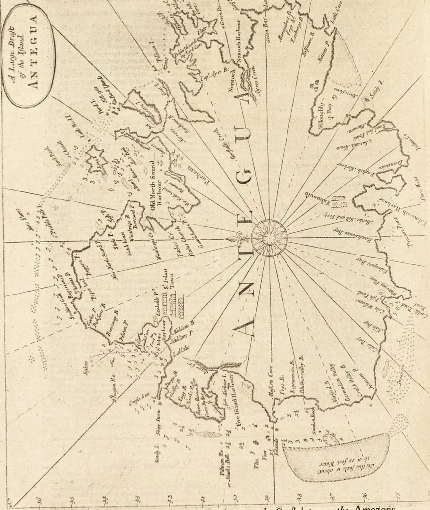
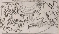
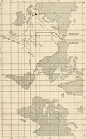
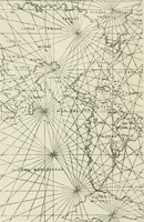
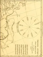
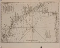
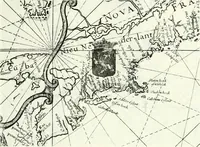
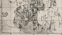
The English pilot. [cartographic material] : The fourth book. Describing The West-India navigation, from Hudson's Bay to the River Amazones. Particularly delineating The Sea Coasts, Capes, Headlands, Rivers, Bays, Roads, Havens, Harbours, Streights, Rocks, Sands, Shoals, Banks, Depths of Water, and Anchorage, with all the Islands therein, as Jamaica, Cuba, Hispaniola, Barbadoes, Antigua, Bermudas, Porto Rico, and the rest of the Caribbee and Bahama Islands. Also, A new Description of Newfoundland, New England, New York, East and West New- Jersey, Dellawar Bay, Virginia, Maryland, Carolina. showing, The Courses and Distances from one Place to another; the Ebbing and Flowing of the Sea, the Setting of the Tides and Currents, &c. With many other Things necessary to be known in Navigation. (1775)
Thornton, John, 1641-1708, Fisher, William, fl. 1669-1691, Adams, John, 1735-1826, former owner. BRL, Boston Public Library (John Adams Library) BRL · London : Printed for J. Mount, T. Page, and W. Mount, on Tower-Hill. · leaf 93
cks, which are very dangerous ■Likewife hereabouts it is very fubjcft to tempeftuous weatlicras has been much obferved by many, who have often been ii(the mjl-Indies, and have thought it very well, when they havepait the latitudes of this ifland with good weather for youalways hear them faj,… … _*^ 1_ ?. •!._ 5_^4 - ADefcription of the Pom m,d ljia«ds upon theCoajl betmeen the hmxLO^,and Cafe Florida. mu. If y™ come upon the Sfm* co.ft, tet.veen AfrilaAStrt. or ok yoo «ill fdiiom mifi f Wterly wmii, mJ >.iEifcrty ciirreni; In tlie mum months the winds ire corn-mini, between the N. and…
Pilot guides · Nautical charts · Navigation
Internet Archive · Boston Public Library · Public Domain Mark 1.0. Free to use for anything.