The English pilot. [cartographic material] : The fourth book. Describing The West-India navigation, from Hudson's Bay to the River Amazones. Particularly delineating The Sea Coasts, Capes, Headlands, Rivers, Bays, Roads, Havens, Harbours, Streights, Rocks, Sands, Shoals, Banks, Depths of Water, and Anchorage, with all the Islands therein, as Jamaica, Cuba, Hispaniola, Barbadoes, Antigua, Bermudas, Porto Rico, and the rest of the Caribbee and Bahama Islands. Also, A new Description of Newfoundland, New England, New York, East and West New- Jersey, Dellawar Bay, Virginia, Maryland, Carolina. showing, The Courses and Distances from one Place to another; the Ebbing and Flowing of the Sea, the Setting of the Tides and Currents, &c. With many other Things necessary to be known in Navigation. (1775)
Thornton, John, 1641-1708, Fisher, William, fl. 1669-1691, Adams, John, 1735-1826, former owner. BRL, Boston Public Library (John Adams Library) BRL · London : Printed for J. Mount, T. Page, and W. Mount, on Tower-Hill. · leaf 97
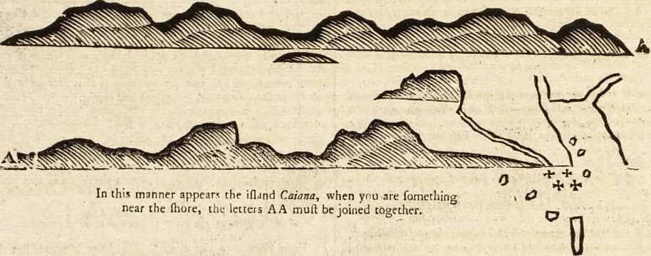
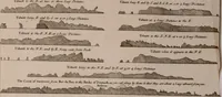
on the whole coaft for accommodt>tion, broad enough for many Ihips to li; in, andhas aboutfour or five fathom water in the road. If you would go intothe river or road of Caiana, you muft go without thefe fouffmall iflands whith Jieof Cfliaaa. About fix or eight lea<ruesto the caftward of… … IHind Con- And if it happen ihac you iibk. fmal! iflands already fpoken of, and the irtand Canjiailf, y ought to haul away a more northrrly coutlr, at itaft two orthree points, by reafon of ihi; flrong current which iets aboutfrom tht weftward i that notwithiiandini;, your coutf.-, whichyou make…
Pilot guides · Nautical charts · Navigation
Internet Archive · Boston Public Library · Public Domain Mark 1.0. Free to use for anything.