Geodaesia : or, The art of surveying and measuring land made easy (1768)
Love, John, fl. 1688, Clark, Samuel · London : Printed for J. Rivington · leaf 129
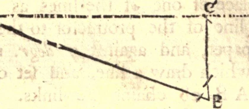
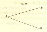
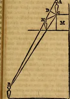
fured the lines truly or not, and is asfollows: When you have furveyed the ground as abovedirected, and find your field-book to ftand as before ;caft up what northing, fouthing, calling, or weft-ing 106 Divers Ways to take the Plots of Fields. ing every line makes; that is to fay, how far at the… … CAB north 20 deg. eaft. The bufinefs is to findthe length of the line A C, which is called the north-ing, or the difference of latitude ; alfo the length ofthe line C B, which is called the eafting, or differ-ence of longitude j which you may do indifferentlytrue, by laying them down upon paper. By…
Surveying
Internet Archive · California Digital Library · Public Domain Mark 1.0. Free to use for anything.