A hand-book for mapping, engineering, and architectural drawing : in which maps of all descriptiosn are analyzed, and their several uses fully explained ; intended for the use of civil engineers, architects, and surveyors, also for naval and military academies, engineering schools and colleges, and draughtsmen ; illustrated with forty-three large plates and thirty-nine woodcuts, among which will be found examples of a parliamentary railway plan, section, and cross sections, prepared in compliance with the standing orders of the House of Commons ; with plain instructions for lithographing and zincographing maps and drawings, and an exposition of the relative cost and merits of engraving, lithographing, and zincographing (1846)
Wilme, Benjamin P, History of Engineering Collection (North Carolina State University). NCRS · London : Published for the author by John Weale, 59 High Holborn · leaf 151
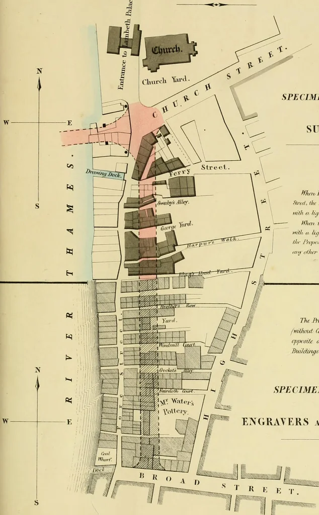
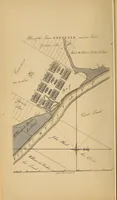
STREET IMPROVEMENT PLAN PLAN of PART of the PROPOSED STREET Iwrn (miRCH STREET to YAIJXHALL, Shcwimj tile Property remind for the Itnpimemmt, tietweerv CEURCH STREET and BROAJ) STREET. ByB.P.Wiliue, C.E.aucLArcli! L6,¥eatlieistoue Buildings, Holbom, Loixdou. … SPECIMEN OF DRAWING for SURVEYORS. NOTE. tfken, Bnk Cvlair is used iv stuyi the PivjHmdr%ed, the Mmms slunild ht coloured m Bind., oririth a liylit wash of JMianlnk, or Htdduxi. tfhni the Hauies are colnicred/ in BUirh, ormill II lit/hi wash, of ImtiaTi Ink, or JJatchfd,/hi- IriJitrxrd iStreel rno^…
Mechanical drawing · Topographical drawing
Internet Archive · Public Domain Mark 1.0. Free to use for anything.