A hand-book for mapping, engineering, and architectural drawing : in which maps of all descriptiosn are analyzed, and their several uses fully explained ; intended for the use of civil engineers, architects, and surveyors, also for naval and military academies, engineering schools and colleges, and draughtsmen ; illustrated with forty-three large plates and thirty-nine woodcuts, among which will be found examples of a parliamentary railway plan, section, and cross sections, prepared in compliance with the standing orders of the House of Commons ; with plain instructions for lithographing and zincographing maps and drawings, and an exposition of the relative cost and merits of engraving, lithographing, and zincographing
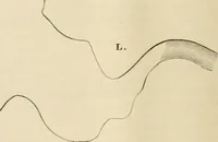
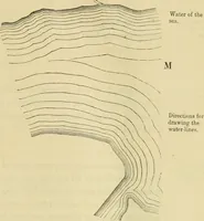
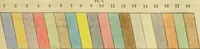
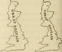
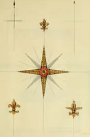
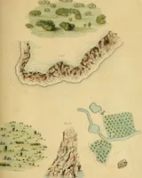
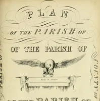
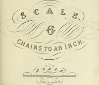
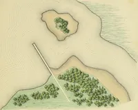
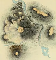
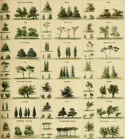
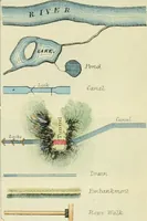
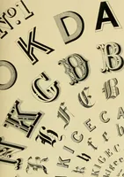
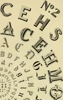
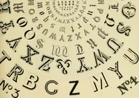
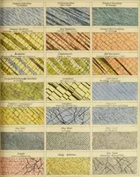
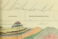
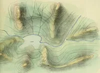
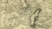
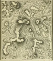
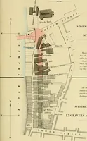
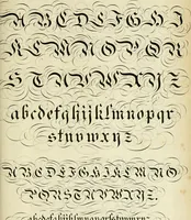
A technical drawing manual by Benjamin P. Wilme, published in London in 1846 for civil engineers, architects, surveyors and military and naval academies. Plates and woodcuts demonstrate map conventions: hachured hill shading, layered contour tinting in green and ochre, sea water-lines drawn in graded parallels, and lettered place-names stretched along coasts and roads — usable as texture patterns, terrain motifs and lettering models.