A hand-book for mapping, engineering, and architectural drawing : in which maps of all descriptiosn are analyzed, and their several uses fully explained ; intended for the use of civil engineers, architects, and surveyors, also for naval and military academies, engineering schools and colleges, and draughtsmen ; illustrated with forty-three large plates and thirty-nine woodcuts, among which will be found examples of a parliamentary railway plan, section, and cross sections, prepared in compliance with the standing orders of the House of Commons ; with plain instructions for lithographing and zincographing maps and drawings, and an exposition of the relative cost and merits of engraving, lithographing, and zincographing (1846)
Wilme, Benjamin P, History of Engineering Collection (North Carolina State University). NCRS · London : Published for the author by John Weale, 59 High Holborn · leaf 161
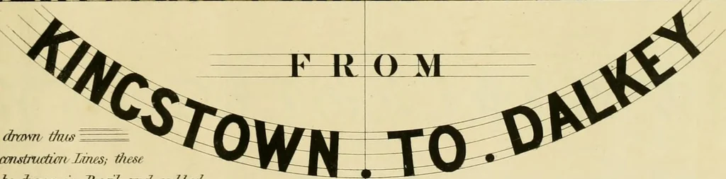
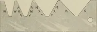
I IJBI.^ sjra … i/zh^j drrmri tfaistt ihe cmstructicn Zznes, thesehadd be (brawi in Fatal and/ rubbed/en the Iftif is ymttm. The letter I ocaipyin^ 2/d. less spate and the letters M.k.W.i/s.more than, ev^ ether letter, ynU nec^sarify throw themiddle Zetter of a Zihe in ?nost cases out of the centre,- as t/ie…
Mechanical drawing · Topographical drawing
Internet Archive · Public Domain Mark 1.0. Free to use for anything.



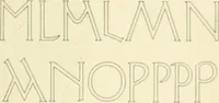

![An illustration from Vnderweysung der Messung : mit dem Zirkel vn[d] Richtscheyt in Linien, Ebnen vnnd gantzen Corporen (1525)](https://img.insideoutlibrary.com/img/200/ia-vnderweysungderm00drer-121-249.webp)