A hand-book for mapping, engineering, and architectural drawing : in which maps of all descriptiosn are analyzed, and their several uses fully explained ; intended for the use of civil engineers, architects, and surveyors, also for naval and military academies, engineering schools and colleges, and draughtsmen ; illustrated with forty-three large plates and thirty-nine woodcuts, among which will be found examples of a parliamentary railway plan, section, and cross sections, prepared in compliance with the standing orders of the House of Commons ; with plain instructions for lithographing and zincographing maps and drawings, and an exposition of the relative cost and merits of engraving, lithographing, and zincographing (1846)
Wilme, Benjamin P, History of Engineering Collection (North Carolina State University). NCRS · London : Published for the author by John Weale, 59 High Holborn · leaf 163
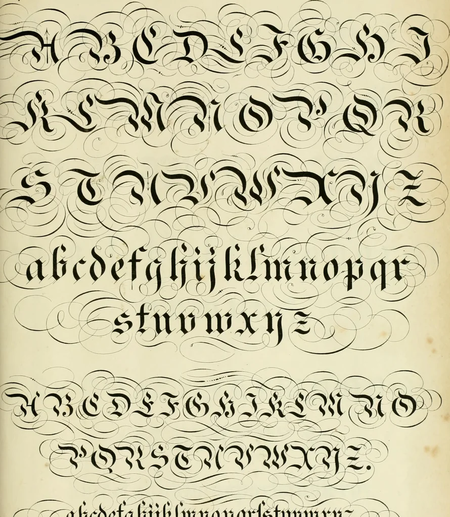
![An illustration from Álbum graphique : recueil d'alphabets français, étrangers et ornés, couronnes, armes, supports, chiffres entrelacés et ornés : [volume 1] / monogrammes tires d'anciens manuscrits et composés par J. Girault (1870)](https://img.insideoutlibrary.com/img/200/met-p16028coll4_44271-23-1.webp)
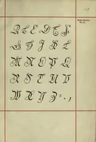
![An illustration from Kunstrichtige Schreibart : allerhand Versalie[n] oder AnfangsBuchstabe[n] der teütschen, lateinischen und italianischen Schrifften aus unterschiedlichen Meistern der edlen Schreibkunst zusammen getragen (1655)](https://img.insideoutlibrary.com/img/200/ia-kunstrichtigesch00fran-42-87.webp)