Hydrographical surveying : a description of means and methods employed in constructing marine charts (1920)
Wharton, W. J. L. (William James Lloyd), 1843-1905, Field, Arthur Mostyn, 1855- · London : J. Murray · leaf 109
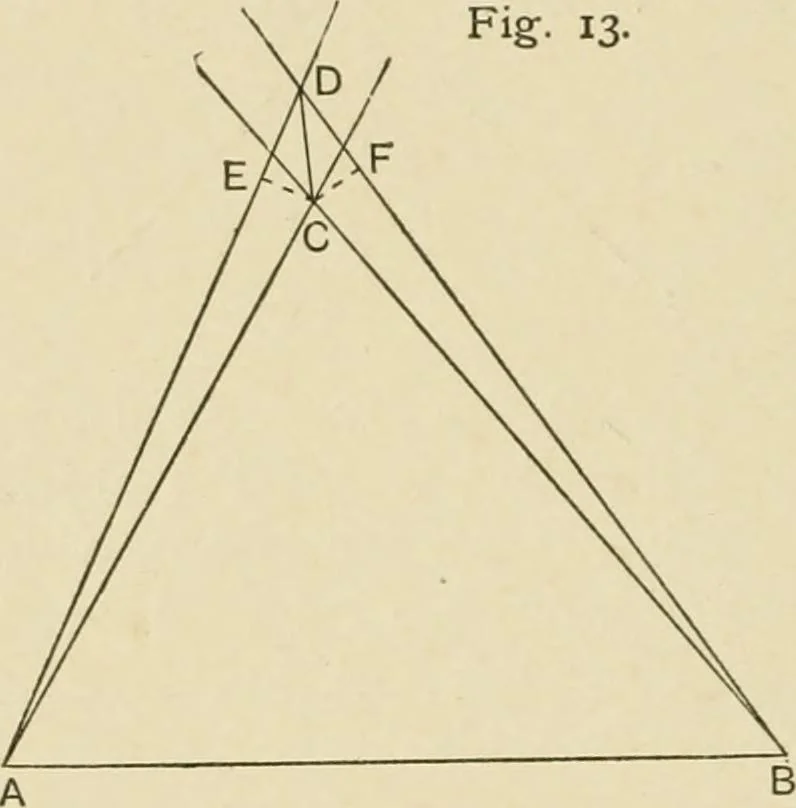
difficult or impossible to identify when on the hill itself.This tree is the natural object wliich will be observed from allother stations, and it is therefore often desirable to connectit by angle and distance with the A itself. This may beeffected thus : When at a convenient distance from the… … angle subtended by the tree and the A- The problem is thenquite a simple one, and as it is working down from two longbases (the distance of the hill at each of the ships fixes) to asmall side, it is very accurate. The easiest way to solve it isby the aid of the traverse table and protraction, as…
Hydrographic surveying · Nautical charts
Internet Archive · Biodiversity Heritage Library · Public Domain Mark 1.0. Free to use for anything.