Hydrographical surveying : a description of means and methods employed in constructing marine charts
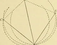
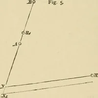
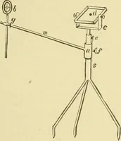
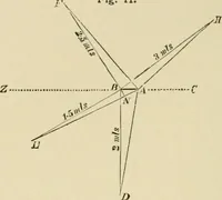
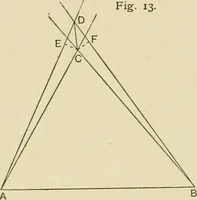
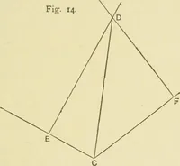
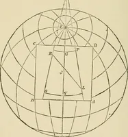
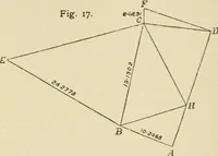
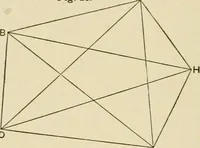
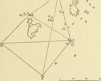
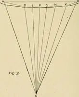
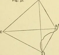
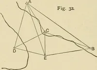
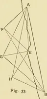
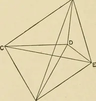
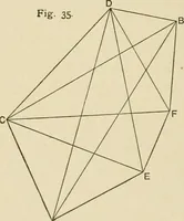
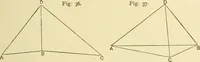
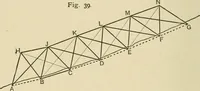
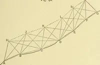
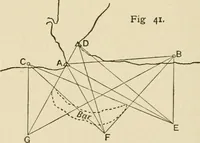
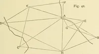
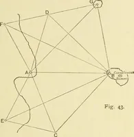
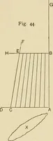
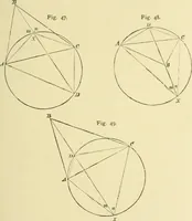
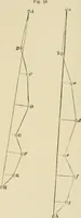
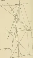
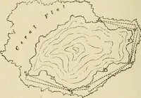
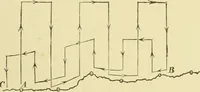
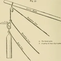
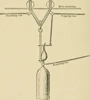
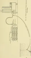
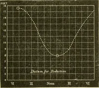
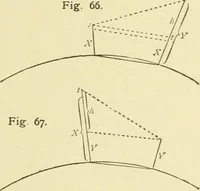
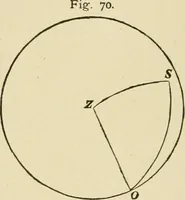
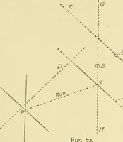
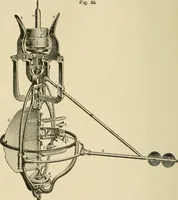
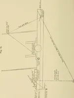
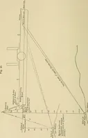
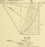
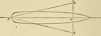
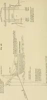
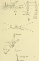
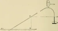
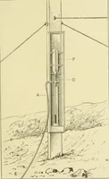
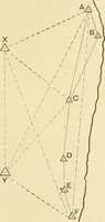
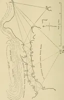
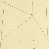
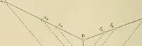
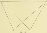
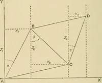
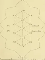
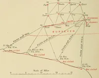
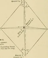
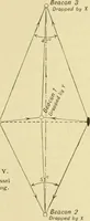
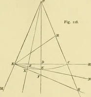
A technical manual on hydrographic surveying and marine chart construction by W. J. L. Wharton and Arthur Mostyn Field, published by John Murray in London in 1920 for naval surveyors and cartographers. The plates are line diagrams: sighting triangles, dashed bearing lines, station points marked with small circles and italic letters, plus numbered figure captions useful as geometric marks and survey notation.