Hydrographical surveying : a description of means and methods employed in constructing marine charts (1920)
Wharton, W. J. L. (William James Lloyd), 1843-1905, Field, Arthur Mostyn, 1855- · London : J. Murray · leaf 110
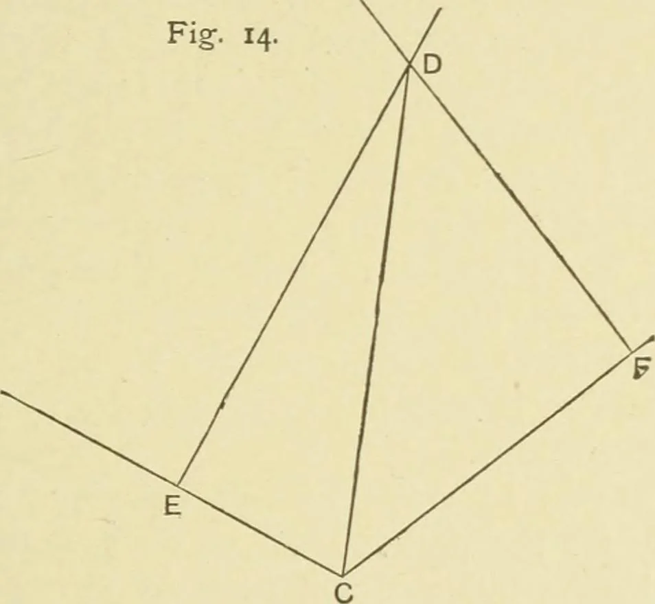
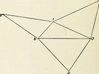
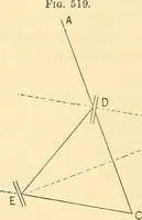
ZDBC-1°30.Required True Bearing and distance of D from C.Draw C E and C F± A D and B D. CHAP. IV.] FALSE STATION 93 Then from traverse table : C E = 105 feet in direction N. 61° W. from C., C F = 209 feet in direction N. 514° E. from C.Bearing of D from A = N. 29° E.Bearing of D from B = N. 38i°… … SKETCH. A sketch taken from a station is made with the object ofmore easily identifying details to which it is necessary to takeangles. By having a view of hills, islands, houses, trees, etc.,from two or three stations they can, if fairly placed in theirproper positions, be easily recognised in the…
Hydrographic surveying · Nautical charts
Internet Archive · Biodiversity Heritage Library · Public Domain Mark 1.0. Free to use for anything.