Hydrographical surveying : a description of means and methods employed in constructing marine charts (1920)
Wharton, W. J. L. (William James Lloyd), 1843-1905, Field, Arthur Mostyn, 1855- · London : J. Murray · leaf 112
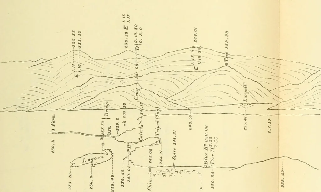
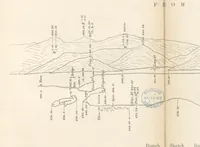
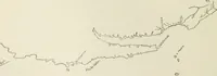
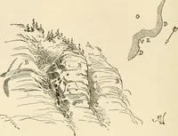
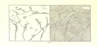
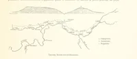
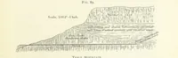
bject. Other angles can be taken to otherobjects between these, and the view sketched in between thesedots, commencing as already said with the outhne most distant,and therefore highest in the sketch. In sketching for this purpose, it is well to rather exaggeratethe height of objects, as, where… … Rough Sketch fro To face p. 94. K O K O ^ ¥ I L LIGHTHOUSE JULY
Hydrographic surveying · Nautical charts
Internet Archive · Biodiversity Heritage Library · Public Domain Mark 1.0. Free to use for anything.