Hydrographical surveying : a description of means and methods employed in constructing marine charts (1920)
Wharton, W. J. L. (William James Lloyd), 1843-1905, Field, Arthur Mostyn, 1855- · London : J. Murray · leaf 152
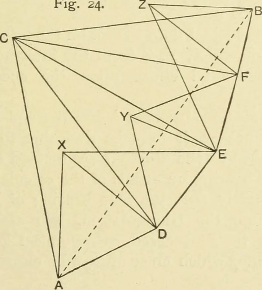
on. It is impossible TrueBear.to give instances of all the difficulties which may be sur- ings.mounted by this means, but examples taken from actual prac-tice will show the style of use to which true bearings maybe put. EXAMPLES OF IRREGULAR PLOTTING. Example I.—One inaccessible object visible from… … survey, from both of which the high, inaccessible peak C isvisible. D, E, F constitute a chain of intermediate stations ;A and D, D and E, E and F, F and B being respectively 9—2 132 HYDROGRAPHICAL SURVEYING [chap. v. visible from each other, and C is visible from all. Z is a peakvisible from E, F,…
Hydrographic surveying · Nautical charts
Internet Archive · Biodiversity Heritage Library · Public Domain Mark 1.0. Free to use for anything.

![An illustration from Brief synopsis of the course of lectures in descriptive geometry; as arranged for the first year Faculty of Applied Science and Engineering, University of Toronto. [By] J. Roy Cockburn (1922)](https://img.insideoutlibrary.com/img/200/ia-fybriefsynopsiso00cockuoft-27-24.webp)