Hydrographical surveying : a description of means and methods employed in constructing marine charts (1920)
Wharton, W. J. L. (William James Lloyd), 1843-1905, Field, Arthur Mostyn, 1855- · London : J. Murray · leaf 154
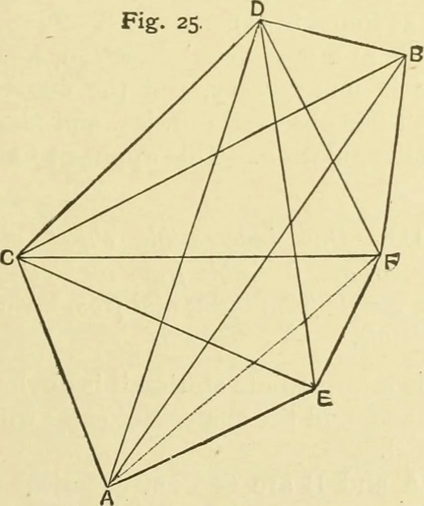
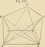
B, the greater will bethis discrepancy, and the more hopeless will be the situation,owing to the fact that probable errors in the astronomicalpositions are quantities pecuHar to themselves, and are inde-pendent of distance. Example II.—Two inaccessible objects visible from both ter-minal… … are two conspicuous inaccessible sharp peaks visible from A andB, and from the intermediate stations E and F, which latterare visible from each other and from A and B respectively. 134 HYDROGRAPHICAL SURVEYING [chap. v. The necessary angles and true bearings having been obtainedat the different…
Hydrographic surveying · Nautical charts
Internet Archive · Biodiversity Heritage Library · Public Domain Mark 1.0. Free to use for anything.