Hydrographical surveying : a description of means and methods employed in constructing marine charts (1920)
Wharton, W. J. L. (William James Lloyd), 1843-1905, Field, Arthur Mostyn, 1855- · London : J. Murray · leaf 161
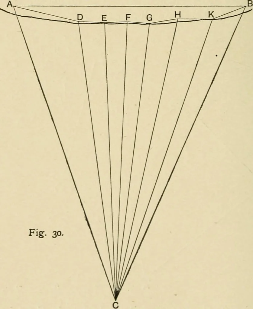
ial bearingof AB. From the mercatorial bearing of A B and the diff. lat.calculate the distance A B. Having the length of A B inunits and also in miles, we can turn the lengths of the othersides from units into miles, and proceed to plot the points onthe side A B on the required scale, either by… … Fig. 30, main triangulation. The curve taken by the coast, and theobstruction to view by wooded summits, prevent stations alongthe coast being seen from either A or B, except for a com-paratively short distance. C is an inaccessible and very CHAP, v.] EXAMPLES OP IRREGULAR PLOTTING 141 distant…
Hydrographic surveying · Nautical charts
Internet Archive · Biodiversity Heritage Library · Public Domain Mark 1.0. Free to use for anything.