Hydrographical surveying : a description of means and methods employed in constructing marine charts (1920)
Wharton, W. J. L. (William James Lloyd), 1843-1905, Field, Arthur Mostyn, 1855- · London : J. Murray · leaf 162
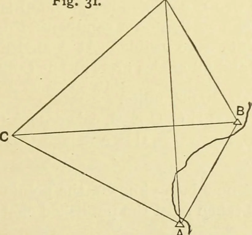
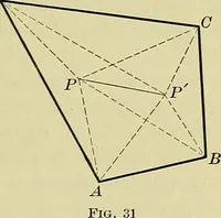
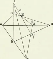
sheet, the several distances A D, D E,E F, etc., can be calculated and laid down on the side-shots. Example VIII.—Given two inaccessible and comparativelydistant objects, the distance between which is known either fromthe chart or from some previous triangulation, the long side of asmall plan may… … A In Fig. 31, A and B are theodolite stations at the extremes ofa small plan. C and D are two inaccessible points the distancebetween which is known. Angles being observed at A and B, 142 HYDROGRAPHICAL SURVEYING [chap. v. Assume A B = 10,000 units.In A D A B, calculate A D.In A C B A, calculate A…
Hydrographic surveying · Nautical charts
Internet Archive · Biodiversity Heritage Library · Public Domain Mark 1.0. Free to use for anything.