Hydrographical surveying : a description of means and methods employed in constructing marine charts (1920)
Wharton, W. J. L. (William James Lloyd), 1843-1905, Field, Arthur Mostyn, 1855- · London : J. Murray · leaf 163
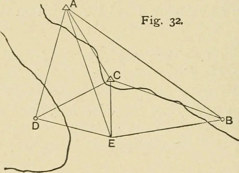
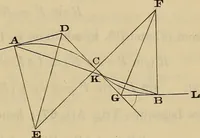
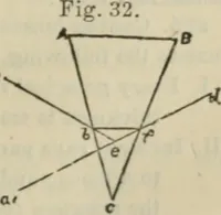
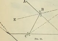
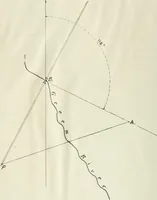
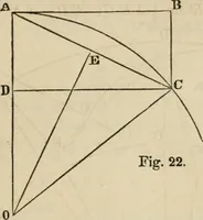
= 10,000 units.In A D A B, calculate A D.In A C B A, calculate A C.In A D C A, calculate D C. Knowing D C in units and also in feet, and A B in units,find A B in feet by proportion. Example IX.—In this case it was desired to correct the pub-lished cJiart of Bahia Blanca, and to plot points on the… … to visit B. D was a conspicuous tree. C is a station on acoast-hill, and E a station on a sandbank, from both of whichstations all points were visible. At A angles to D, E, and Cwere observed, and all angles observed at C and E. Assuming A D = 10,000 units, In A« A D C, D E C, C E B, calculate A C,…
Hydrographic surveying · Nautical charts
Internet Archive · Biodiversity Heritage Library · Public Domain Mark 1.0. Free to use for anything.