Hydrographical surveying : a description of means and methods employed in constructing marine charts (1920)
Wharton, W. J. L. (William James Lloyd), 1843-1905, Field, Arthur Mostyn, 1855- · London : J. Murray · leaf 164
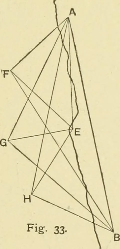
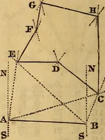
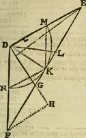
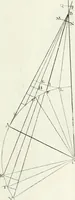
HIP FORTRIANGULATION. Example X.—Given the angles and lengths of the sides ofa well-executed trigonometrical survey, with stations near thecoast from 20 to 25 miles apart, successively visible fromeach other, intermediate points may be fixed with all the pre-cision necessary for a coast survey, by… … near the coast, the ship is shot up in three suitably selectedpositions, F, G, H, by observers at the two main stations.Angles are in each case observed simultaneously at the ship toan intermediate station E on the coast-line, which, if possible, isso placed as to see one of the two main stations.…
Hydrographic surveying · Nautical charts
Internet Archive · Biodiversity Heritage Library · Public Domain Mark 1.0. Free to use for anything.