Hydrographical surveying : a description of means and methods employed in constructing marine charts (1920)
Wharton, W. J. L. (William James Lloyd), 1843-1905, Field, Arthur Mostyn, 1855- · London : J. Murray · leaf 182
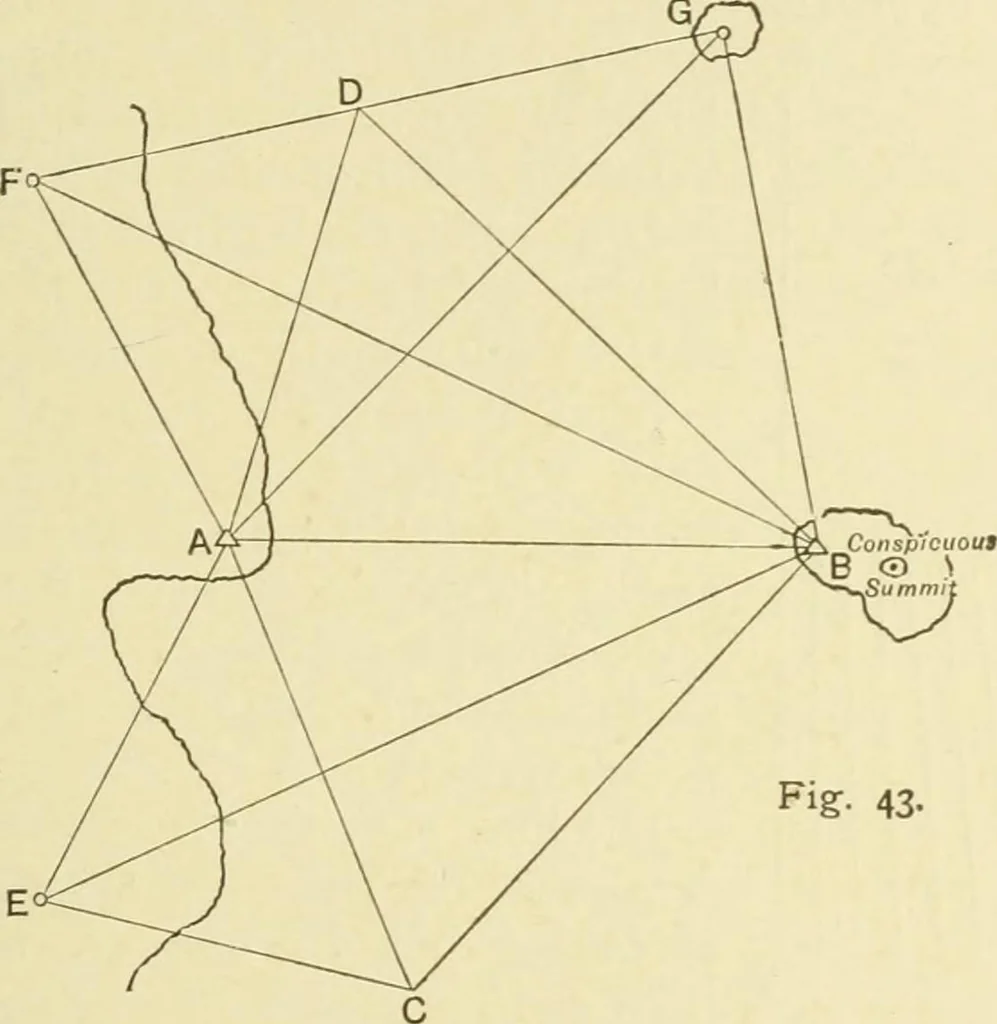
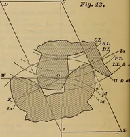
hill conveniently accessible, andB is also a theodolite A on a summit near the coast of anoff-lying island. From these As the conspicuous peaks E, F, CHAP, v.] USE OF THE SHIP FOR TRIANGULATION 161 and the summit of the island G are shot up and fixed on twolines. The ship taking up a position at C… … Fig-- 43- The conspicuous summit of the island B is also shot in fromA, C, and D. It will be noted that the positions of the ship at C and Dare so placed that F and E are respectively nearly in line withA in each case, and therefore, however acute may be the firsttwo lines to those peaks, the ships…
Hydrographic surveying · Nautical charts
Internet Archive · Biodiversity Heritage Library · Public Domain Mark 1.0. Free to use for anything.