Hydrographical surveying : a description of means and methods employed in constructing marine charts (1920)
Wharton, W. J. L. (William James Lloyd), 1843-1905, Field, Arthur Mostyn, 1855- · London : J. Murray · leaf 197
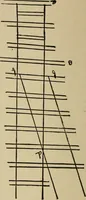
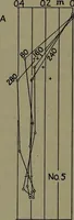
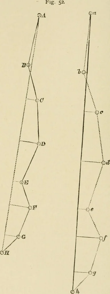
, if these hills can ^^®**be fixed by bearings (true or compass) from them, the anglestaken to the hills, at a position now and then, may possiblybe used as fixes, which may be plotted by station pointer,and so get intermediate positions independent of the patentlog positions, which are so liable… … CHAP. VI.] RUNNING SURVEY 177 Having plotted the positions where astronomical observa- Repiot-tions have been taken, if the intermediate stations are to be smLringput in by bearing and distance, they must be squared in so as in-to agree in total distance and bearing with the astronomicalpositions.…
Hydrographic surveying · Nautical charts
Internet Archive · Biodiversity Heritage Library · Public Domain Mark 1.0. Free to use for anything.
![An illustration from Cours d'architecture enseigné dans l'Academie royale d'architecture : premiere[-cinquième] partie ... (1675)](https://img.insideoutlibrary.com/img/200/ia-coursdarchitectu00blon-48-26.webp)
![An illustration from [Electric engineering.] (1902)](https://img.insideoutlibrary.com/img/200/ia-electricengineer03inte-468-290.webp)