Hydrographical surveying : a description of means and methods employed in constructing marine charts (1920)
Wharton, W. J. L. (William James Lloyd), 1843-1905, Field, Arthur Mostyn, 1855- · London : J. Murray · leaf 213
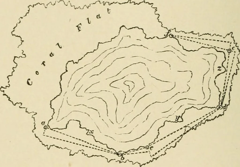
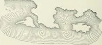
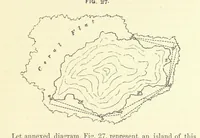
hap. vii. Let annexed diagram, Fig. 55, represent an island of thiskind. A long measured lead-line, say of 500 feet, is provided.This is taken by an officer we will call B, who has a prismaticcompass. Another officer, A, is provided with theodolite, orsextant, or micrometer, and prismatic compass,… … at the extremity. A observes angle subtended by flag andA a, with his micrometer or sextant, and both A and Bobserve the bearing oi ah. A waves to B, who goes on to c, when the operation isrepeated. A then moves on to d, B pivoting his line round c, so as tobe rectangular to c d ; and so on, until…
Hydrographic surveying · Nautical charts
Internet Archive · Biodiversity Heritage Library · Public Domain Mark 1.0. Free to use for anything.