Hydrographical surveying : a description of means and methods employed in constructing marine charts (1920)
Wharton, W. J. L. (William James Lloyd), 1843-1905, Field, Arthur Mostyn, 1855- · London : J. Murray · leaf 233
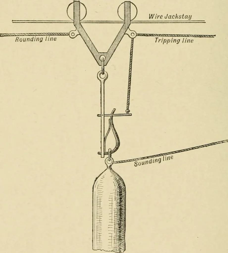
dahead directly bottom is struck, even at a depth of 1,000fathoms, speed being gradually increased. Soundings in greatdepths may be successfully obtained from aft in circumstancesMlien the Lucas machine on the forecastle could not be usedouing to heavy seas washing over it. In localities where… … line towards the shore a fix as soon as possible. The soundingswe are obtaining may be hereafter used, especially where fogsare frequent—as, e.g., British Channel, Bay of Fundy—togive vessels a notion of their position, and we must thereforeuse every dodge to get our true position at the…
Hydrographic surveying · Nautical charts
Internet Archive · Biodiversity Heritage Library · Public Domain Mark 1.0. Free to use for anything.