Hydrographical surveying : a description of means and methods employed in constructing marine charts (1920)
Wharton, W. J. L. (William James Lloyd), 1843-1905, Field, Arthur Mostyn, 1855- · London : J. Murray · leaf 250
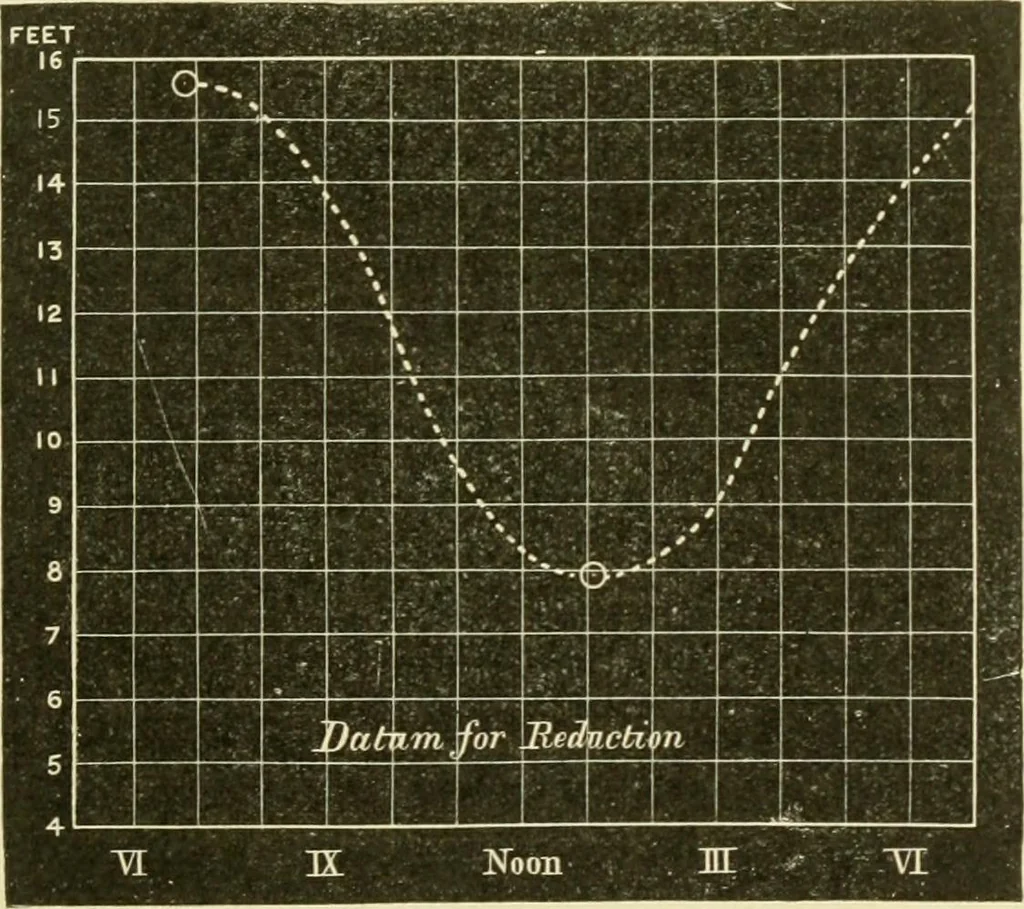
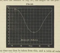
t by drawing a curve in the imagined course of thetide, after the manner of Fig. 61 ; the height on the pole atany time can then be taken from this, and a table of reduction,formed for the day. Thus, in Fig 62, where we have only got the times and heightsat high and low water on that day, viz., H.… … Fig. 62. have by one for these like occasions, we draw a curve afterthe fashion shown. Then, supposing our datum for reduc-tion to have been settled as 4 feet on the pole, our table ofreduction for the day will stand as follows : YI 11 ft. or 2 fms. VII lU „ or 2 5) VIII 11 „ or 2 » IX 9| „ or If…
Hydrographic surveying · Nautical charts
Internet Archive · Biodiversity Heritage Library · Public Domain Mark 1.0. Free to use for anything.
![An illustration from Histoire de mes ascensions : récit de vingt-quatre voyages aériens [1868-1877] (1880)](https://img.insideoutlibrary.com/img/200/ia-39002011210615.med.yale.edu-276-18.webp)