Hydrographical surveying : a description of means and methods employed in constructing marine charts (1920)
Wharton, W. J. L. (William James Lloyd), 1843-1905, Field, Arthur Mostyn, 1855- · London : J. Murray · leaf 259
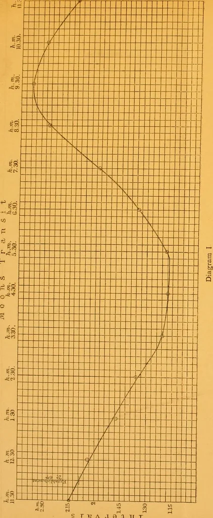
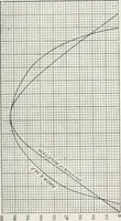
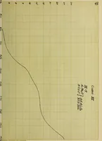
intervals and the mean heights (see Table I.).The transit in the Nautical Almanack being given for the meri-dian of Greenwich, the transit for any other meridian mustbe corrected for longitude, a table for wliich is given in mostworks on navigation. 4. The times and heights are to be classified… … ]T3A .19 tUJ
Hydrographic surveying · Nautical charts
Internet Archive · Biodiversity Heritage Library · Public Domain Mark 1.0. Free to use for anything.