Hydrographical surveying : a description of means and methods employed in constructing marine charts (1920)
Wharton, W. J. L. (William James Lloyd), 1843-1905, Field, Arthur Mostyn, 1855- · London : J. Murray · leaf 278
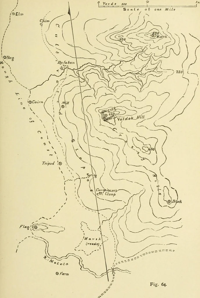
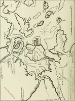
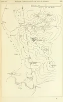
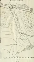
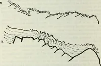
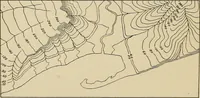
used when the sextant angles Avill be tooerroneous. If we have a theodolite, we must take advantage of goodopportunities to get a series of elevations and depressions forheights. In taking angles with a sextant to objects on differentlevels, try to find some natural mark which is exactly aboveor… … Fig. 64. 256 HYDROGRAPHICAL SURVEYING [chap. x. take this instead of the object itself. But it must be noted that unless this second object is nearly at the level of the observer, the angle will still be incorrect. Fig. 64 shows a rough field-board, before any shading is placed on the sides of the…
Hydrographic surveying · Nautical charts
Internet Archive · Biodiversity Heritage Library · Public Domain Mark 1.0. Free to use for anything.