Hydrographical surveying : a description of means and methods employed in constructing marine charts (1920)
Wharton, W. J. L. (William James Lloyd), 1843-1905, Field, Arthur Mostyn, 1855- · London : J. Murray · leaf 406
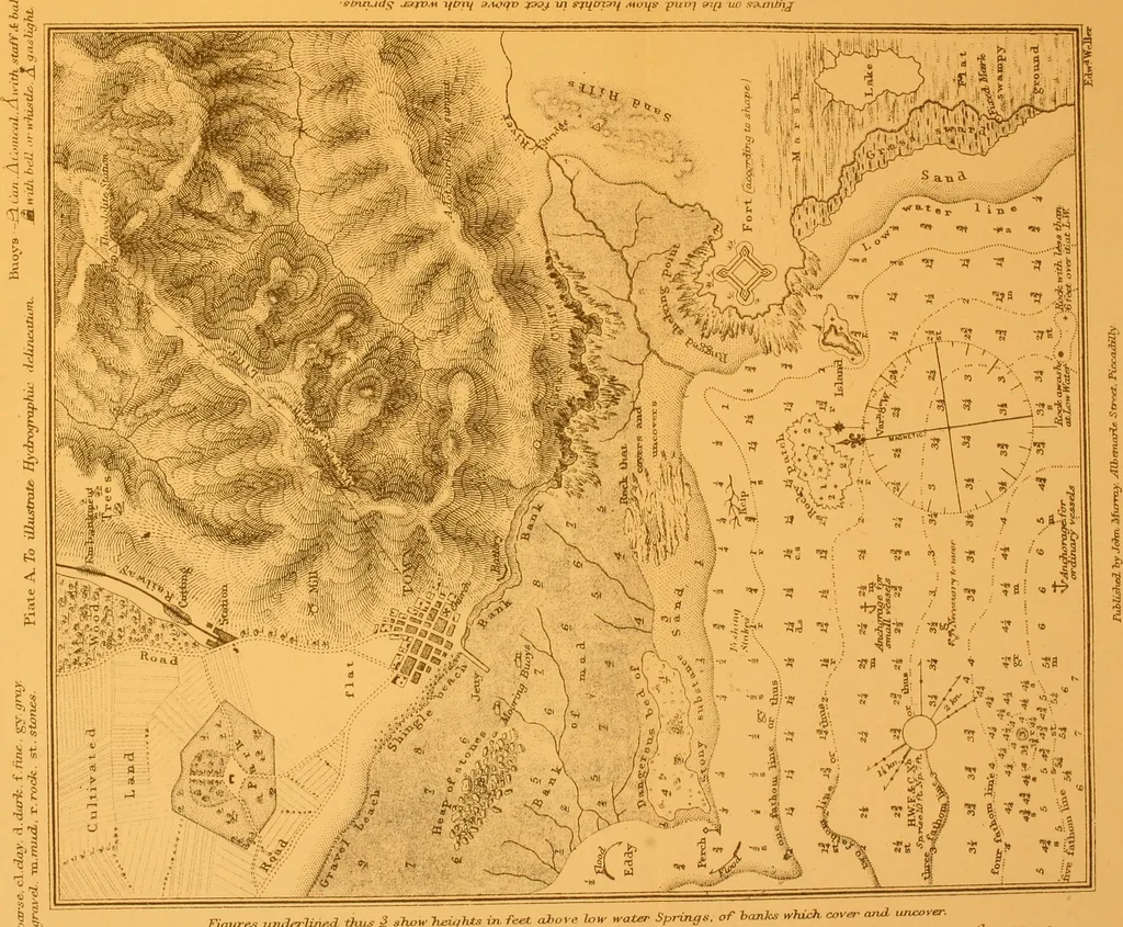
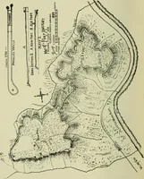
. w. Some charts are worked up by Indian ink alone in all parts ;in others, colour is used to assist the delineation of the differentparts, Indian ink being always used over the colour, in exactlythe same manner as if there was no groundwork. A wash of some colour on the land helps to throw it… … TuIa arrows - Fiood, Figures u^vd^Uried thus 3 .?«,«- W,7^ t«. feet ahaye low ^ater Springs, of h<mks ^hich coyer W uru:oyer. ^ , ^ ; dots a,: tJrem thus _^^ — the 2^arui 3^ho^ of th. tid.. Cur,ent arrows i]u^ -— CHAP. XVII.] DELINEATION, SYMBOLS, COLOURING 379 or the paper will distort, and the…
Hydrographic surveying · Nautical charts
Internet Archive · Biodiversity Heritage Library · Public Domain Mark 1.0. Free to use for anything.