Hydrographical surveying : a description of means and methods employed in constructing marine charts (1920)
Wharton, W. J. L. (William James Lloyd), 1843-1905, Field, Arthur Mostyn, 1855- · London : J. Murray · leaf 441
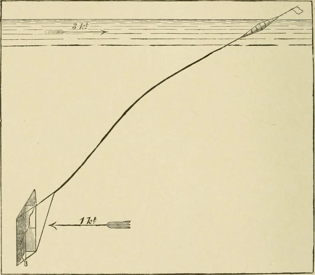
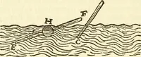
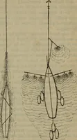
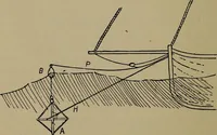
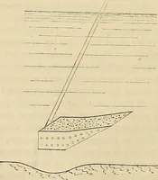
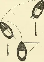
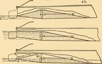
ascertain the movement of the floating buoy, and there- fl-SCGrtcLin - ing Rate foro the direction in which the drag was carried by the under-and Direc-(j^.j.gj^^^ a fix was taken to shore objects, and plotted on alarge-scale sheet of points, when the drag was let go free fromthe boat. Subsequent… … water at the same spot and time, and followed by another boat, afforded means of ascertaining the surface current.Defects. This arrangement worked very satisfactorily altogether, but there are several defects in it. The depth of the submerged drag will not be the length of the line allowed, but…
Hydrographic surveying · Nautical charts
Internet Archive · Biodiversity Heritage Library · Public Domain Mark 1.0. Free to use for anything.