Hydrographical surveying : a description of means and methods employed in constructing marine charts (1920)
Wharton, W. J. L. (William James Lloyd), 1843-1905, Field, Arthur Mostyn, 1855- · London : J. Murray · leaf 463
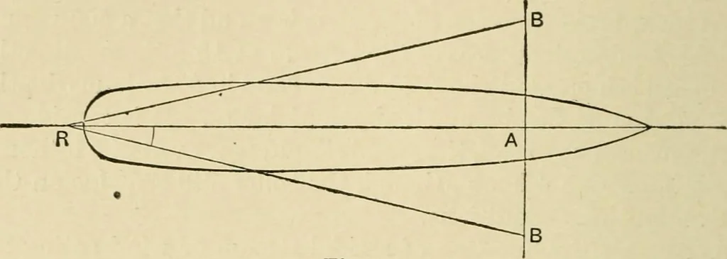
VEYING [chap. xx. The error, however, rapidly increases beyond that Hmit; sothat it would be necessary to wait for slack Avater of tidalstreams, or better weather, in the case of wind, should a largerangle be necessary to keep the ship on the line desired to berun. These conditions, of course, vary… … Fig. 94. It may be remarked that a fitting of this nature could prob-ably be adapted for boats; for example, by a steam cuttertowing a roller or sledge along the bottom, at a convenientdistance, Avith a small boat perpendicularly over it, carryingthe depth-line, and the officers jQxing the…
Hydrographic surveying · Nautical charts
Internet Archive · Biodiversity Heritage Library · Public Domain Mark 1.0. Free to use for anything.