Hydrographical surveying : a description of means and methods employed in constructing marine charts (1920)
Wharton, W. J. L. (William James Lloyd), 1843-1905, Field, Arthur Mostyn, 1855- · London : J. Murray · leaf 489
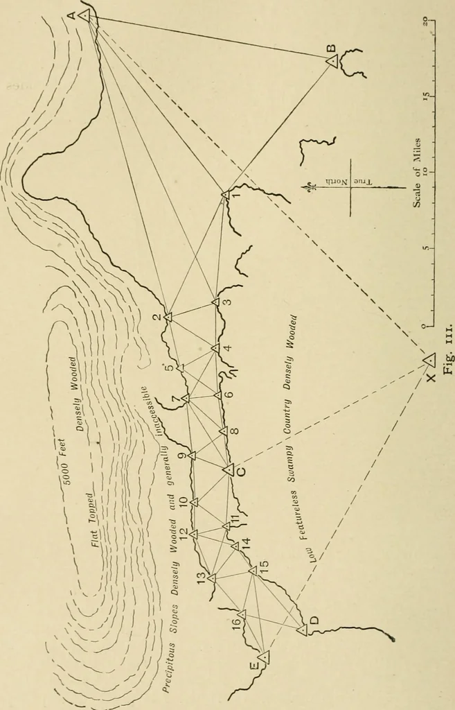
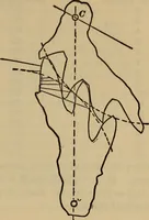
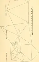
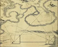
a further illustration of the use of anarbitrary plotting point, X in Fig. Ill, which shows a tri-angulation suddenly contracting in width to a long narrowstrait, in which sextant angles alone are possible. In sucha case errors are bound to creep in, and the only check lies incarrying a true… … CHAP. XX.] PLOTTING WORK 461 some attempt at adjustment may be made, but in plotting theintermediate point C, whether by traverse from either end orby the introduction of an arbitrary point, the discrepancy isbound to show itself; it cannot be got rid of, and the only thingto be said is that, in…
Hydrographic surveying · Nautical charts
Internet Archive · Biodiversity Heritage Library · Public Domain Mark 1.0. Free to use for anything.