Hydrographical surveying : a description of means and methods employed in constructing marine charts (1920)
Wharton, W. J. L. (William James Lloyd), 1843-1905, Field, Arthur Mostyn, 1855- · London : J. Murray · leaf 492
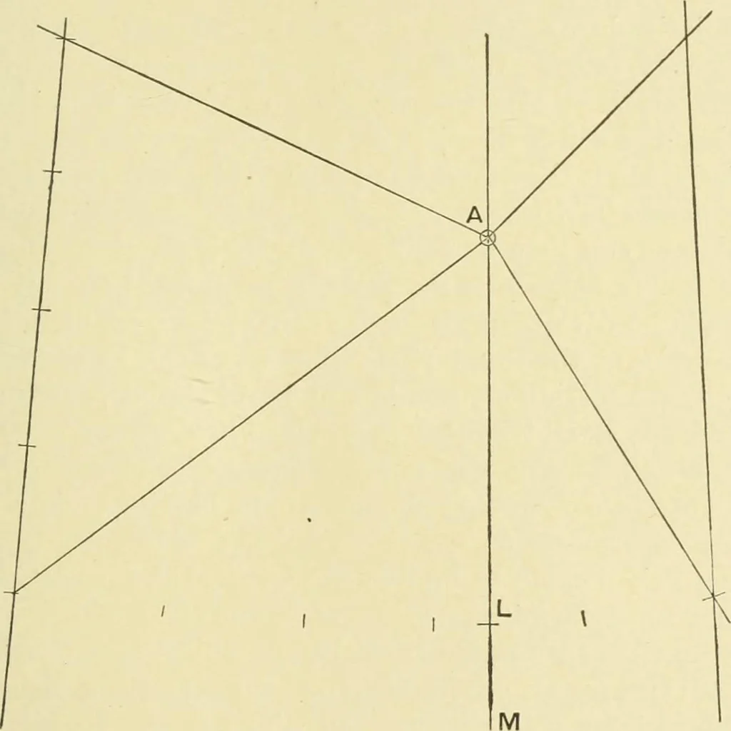
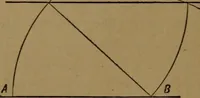
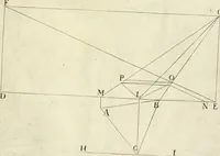
e position is known,and A M the meridian through it. Along A M can be markedthe points where the parallels cut it according to the scale,and if L be a point on the parallel which is nearest to the bottomborder of the chart, the parallel through L can be constructedthus: Decide upon the number of… … Fig. 112. of A will be generally intermediate between two whole minutesof longitude, the positions along the parallel through L willbe taken on certain meridians. There are now, therefore, a certain number of known posi-tions to plot in order to draw the curved j^arallel through L.The positions are…
Hydrographic surveying · Nautical charts
Internet Archive · Biodiversity Heritage Library · Public Domain Mark 1.0. Free to use for anything.