Hydrographical surveying : a description of means and methods employed in constructing marine charts (1920)
Wharton, W. J. L. (William James Lloyd), 1843-1905, Field, Arthur Mostyn, 1855- · London : J. Murray · leaf 497
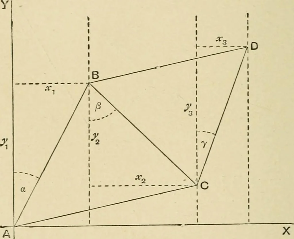
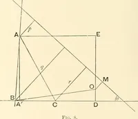
stance east or west of the starting-point is not hkely to exceed150 miles, and if there is no probability of accurate geographicalpositions being required, nor of there being any further ex-tension of the triangulation, and if the azimuths of the sidesare not wanted. The method is as follows: (a)… … Fig. IIS. the earths surface being treated as a plane, the co-ordinatesof all the stations are calculated, the co-ordinates being mea-sured along, and at right angles to, the initial meridian, thus:If, as in Fig. 115, A be the initial point, or origin, A Y theinitial meridian, and a the azimuth or…
Hydrographic surveying · Nautical charts
Internet Archive · Biodiversity Heritage Library · Public Domain Mark 1.0. Free to use for anything.