Military sketching and map reading; including panoramic sketching and aerial photography (1921)
Grieves, Loren Chester, 1878- · Washington : United States Infantry Association · leaf 15
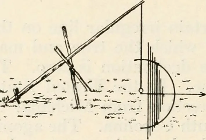
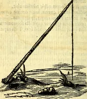
dsshould be about 12 feet apart, and to see the forwardone, it will be necessary to throw a light upon it. Thisline can readily be prolonged bj^ daylight. Second Method By Aid of the Sun and Plumb-Bob (see Fig. 1).—On alevel piece of ground lean a pole toward the north, andrest it in a crotch made… … Fig. 1 describe an arc with a radius equal to the distance fromthe peg to the shadow of the tip of the pole. Drive apeg on the arc where the shadow of the tip of the polerested. About an hour after noon watch the shadow ofthe tip as it approaches the eastern side of the arc, anddrive another peg…
Maps, Military · Military sketching
Internet Archive · California Digital Library · Public Domain Mark 1.0. Free to use for anything.