Military sketching and map reading; including panoramic sketching and aerial photography
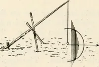
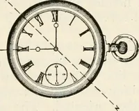
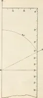
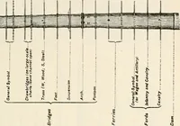
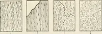
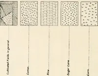
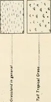
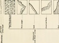
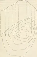
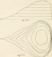
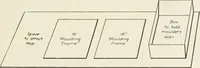
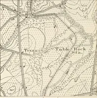
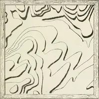
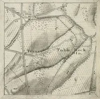
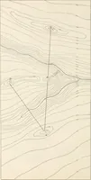
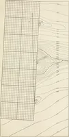
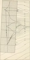
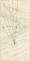
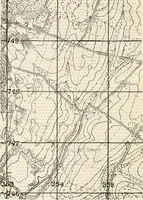
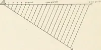
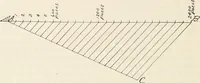
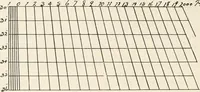
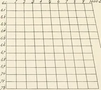
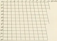
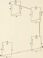
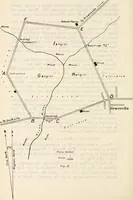
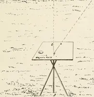
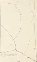
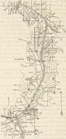
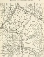
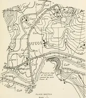
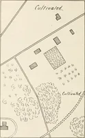
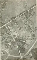
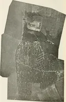
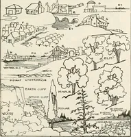
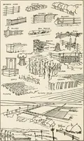
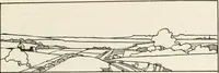
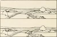
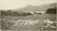
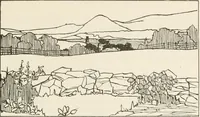
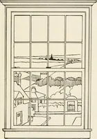
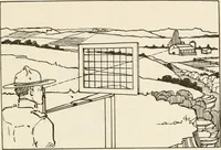
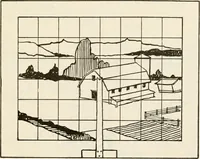
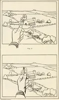
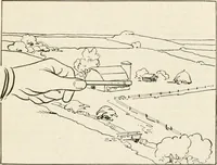
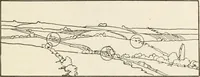
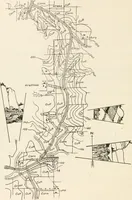
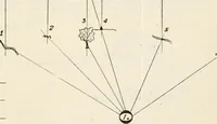
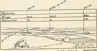
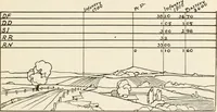
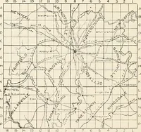
A 1921 US Army training manual by Loren C. Grieves, published in Washington by the United States Infantry Association to teach officers and cadets field sketching, map reading, panoramic drawing, and aerial photo interpretation. Line plates pair dense contour maps and slope profiles with grid overlays, protractor diagrams, and outline panoramas of ridgelines, roads, and clouds — usable as topographic textures and technical diagram stock.