Military sketching and map reading; including panoramic sketching and aerial photography (1921)
Grieves, Loren Chester, 1878- · Washington : United States Infantry Association · leaf 32
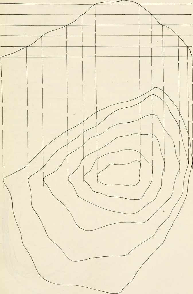
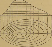
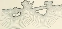
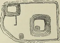
then have an accurately contouredmap of the island. See Fig. 4. Another method of illustrating contours is by means ofa large rutabaga (Swedish turnip). Cut it in half,preferably from the top toward the root, and place onehalf on a level surface. You then have a good representa-tion of an island.… … /v/. ^ 30 Military Sketcpiing and Map Reading
Maps, Military · Military sketching
Internet Archive · California Digital Library · Public Domain Mark 1.0. Free to use for anything.