Maps and map-making; three lectures delivered under the auspices of the Royal geographical society (1910)
Reeves, Edward Ayearst, 1862-1945, Royal Geographical Society (Great Britain) · London, The Royal geographical society · leaf 112
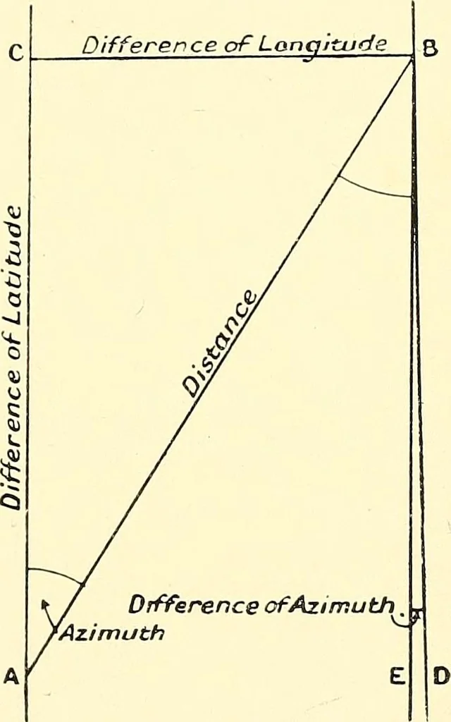
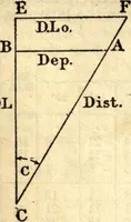
eridians, all can be computed.Allowance is made in the special table used, for the figureof the earth. This kind of survey is often carried on, whentime is pressing, in open country, with prominent points,and is certainly the next best method to triangulation forthis kind of work. It can be… … Fig. 92.—Latitude and AzimuthTraverse. 94 MAPS AND MAP-MAKING azimuth traverse is given in the route map (Fig. 93).This was made by one of my pupils, Mr. Talbot, of the
Cartography · Surveying
Internet Archive · Wellesley College Library · Public Domain Mark 1.0. Free to use for anything.