A treatise on levelling, topography, and higher surveying (1876)
Gillespie, W. M. (William Mitchell), 1816-1868, Staley, Cady, b. 1840, ed · New York, D. Appleton and company · leaf 188
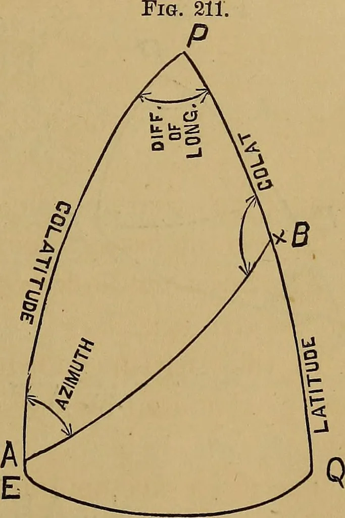
rreg-ularity of the form of the earth; Thedifference of the geodesic fromthe astronomical determination ofdifference of latitude and longitude,is called the station error. A geodesic line is the short-est line which can be drawn on theellipsoid, corresponding to an arcof a great circle on the… … (Lv\gJ 168 LEVELLING, TOPOGRAPHY, AND HIGHER SURVEYING. from B to A. The distance is measured on the arc of a greatcircle passing through those points, the earth being assumedto be a sphere. We have given two sides and the included angle, to findthe remaining parts. By spherical trigonometry we…
Surveying
Internet Archive · Library of Congress · Public Domain Mark 1.0. Free to use for anything.