Maps and map-making; three lectures delivered under the auspices of the Royal geographical society (1910)
Reeves, Edward Ayearst, 1862-1945, Royal Geographical Society (Great Britain) · London, The Royal geographical society · leaf 119
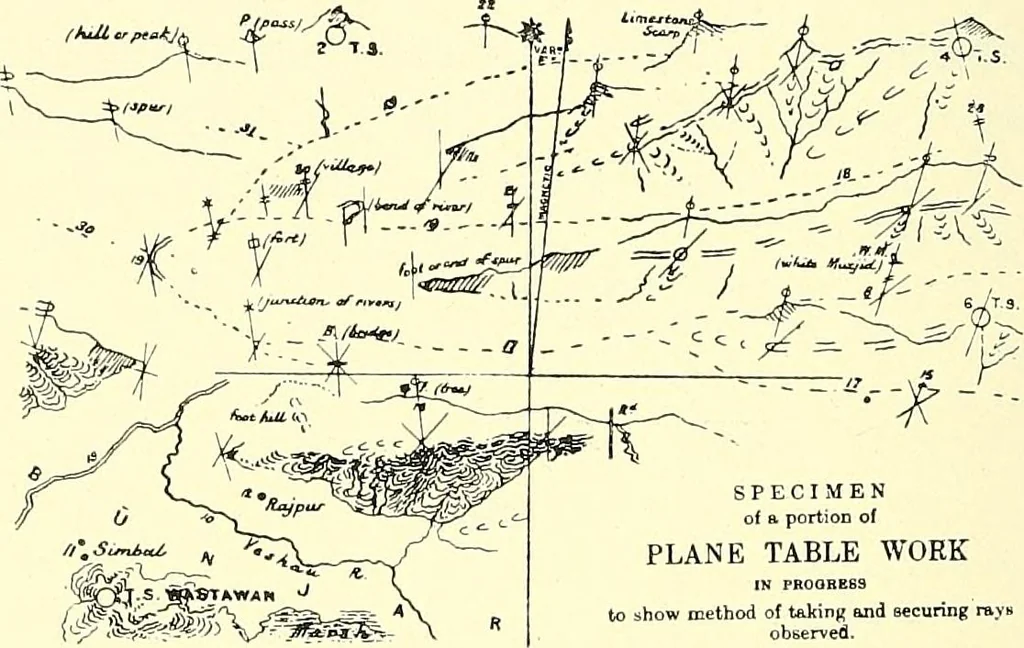
base. Then the alidade is sightedon to B, the other end of the base, and a line drawnon the board to any suitable scale to represent the base-line. With the alidade on the point A, all definitepoints in the country are sighted, and lines are drawn 100 MAPS AND MAP-MAKING towards them. Next the… … Fig. 100. SPECIMENof a portion of PLANE TABLE WORK
Cartography · Surveying
Internet Archive · Wellesley College Library · Public Domain Mark 1.0. Free to use for anything.