Maps and map-making; three lectures delivered under the auspices of the Royal geographical society (1910)
Reeves, Edward Ayearst, 1862-1945, Royal Geographical Society (Great Britain) · London, The Royal geographical society · leaf 135
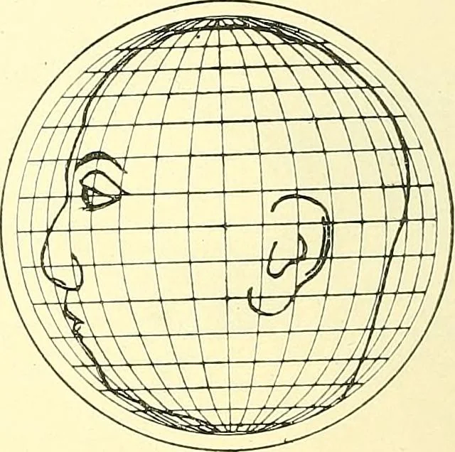
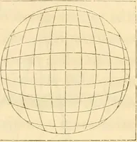
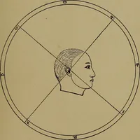
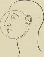
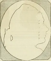
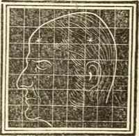
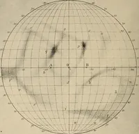
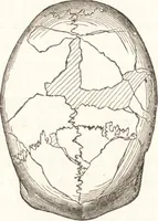
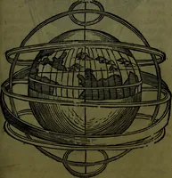
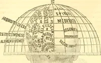
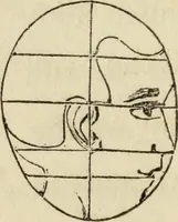
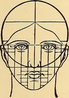
Fig. 112. Fig. 113. Fig. 114.—Stereographic projection. In this the ex-aggeration is in the other direction, and the map wouldbe squeezed up in the middle. Fig. 115.—Mercators projection. From this you will seehow absurdly the areas are exaggerated towards the poles. Since all projections of the…
Cartography · Surveying
Internet Archive · Wellesley College Library · Public Domain Mark 1.0. Free to use for anything.