Maps and map-making; three lectures delivered under the auspices of the Royal geographical society (1910)
Reeves, Edward Ayearst, 1862-1945, Royal Geographical Society (Great Britain) · London, The Royal geographical society · leaf 144
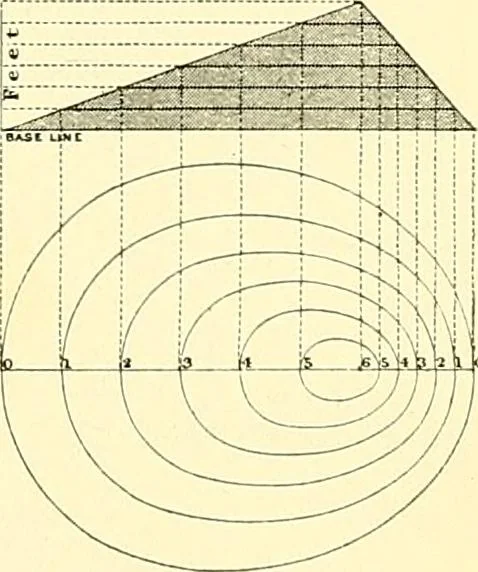
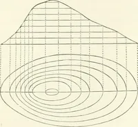
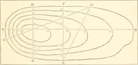
The most scientific method of indicating relief, isby a system of contour-lines at regular intervals apart, andFig. 121 shows clearly the principle upon which they aredrawn. Fig. 122 is a specimen of a contour map of theSnowdon district, from one of the one-inch Ordnance Surveysheets of England and… … Fig. 121.—Principle ofContouring. 124 MAPS AND MAP-MAKING Apart from their accuracy, contours, if sufficiently close, <nvea good general idea of the relief of a district, as may be seenby Fig. 123. In all exact large-scale surveys contour-linesare accurately drawn from careful levelling, but in…
Cartography · Surveying
Internet Archive · Wellesley College Library · Public Domain Mark 1.0. Free to use for anything.