Maps and map-making; three lectures delivered under the auspices of the Royal geographical society (1910)
Reeves, Edward Ayearst, 1862-1945, Royal Geographical Society (Great Britain) · London, The Royal geographical society · leaf 146
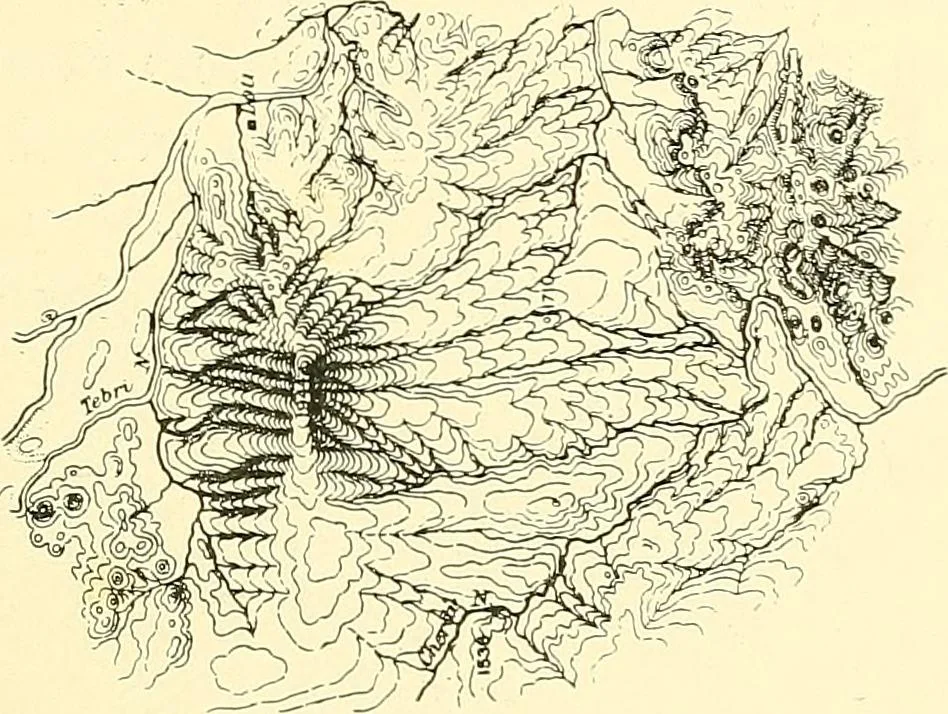
Fig. 122.—Contoured Map of part of Snowdon District (from 1-inchOrdnance Survey). work, the lines are only approximate, and are really hori-zontal form lines. But whether they are proper contoursor only approximate, the intervals between them should bein accordance with some rule, which is now, for… … Fig. 123.—Relief Effect given by Close Contour-lines.
Cartography · Surveying
Internet Archive · Wellesley College Library · Public Domain Mark 1.0. Free to use for anything.