Maps and map-making; three lectures delivered under the auspices of the Royal geographical society (1910)
Reeves, Edward Ayearst, 1862-1945, Royal Geographical Society (Great Britain) · London, The Royal geographical society · leaf 53
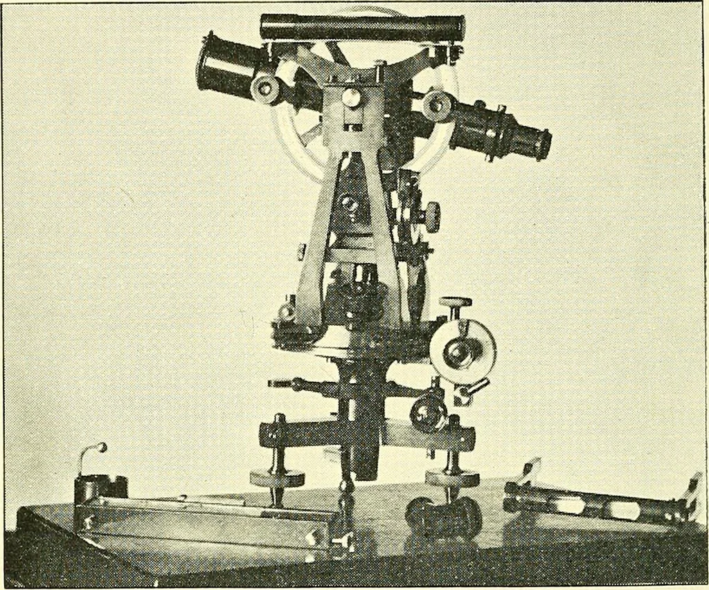
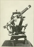
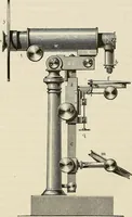
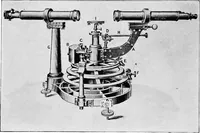
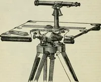
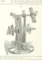
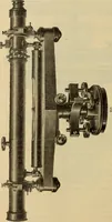
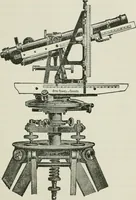
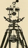
Fig-. 40.—Transit Theodolite used on IndianSurvey. 34 MAPS AND MAP-MAKING this theodolite is fitted with the ordinary ones, for readingthe arc in the usual manner. … Fig. 41.—4-inch Transit Theodolite, with Tangent Micrometer. Although it is impossible in this short lecture to giveanything like a complete account of the history of theMagnetic Compass, yet this has played such an importantpart in geographical discovery and exploration, both by seaand land, that…
Cartography · Surveying
Internet Archive · Wellesley College Library · Public Domain Mark 1.0. Free to use for anything.