Maps and map-making; three lectures delivered under the auspices of the Royal geographical society (1910)
Reeves, Edward Ayearst, 1862-1945, Royal Geographical Society (Great Britain) · London, The Royal geographical society · leaf 55
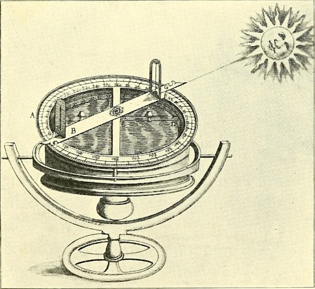
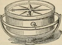
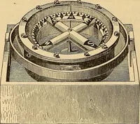
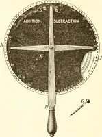
hwill give a good idea of the sort of thing the famous navi-gators of the fifteenth and sixteenth centuries had to steer by. One great ad-vantage the sailorhad in those days,was that he had nooccasion to worryhis head about de-viation due to ironin the construction of his ship. The marine com-pass… … Fig. 44.—Old Ships Compass.(From Dudleys Arcano del Mare.) INSTRUMENTS 37 the bowl of the compass, for the first time, to steady thecompass card. When iron ships were built, things wereupset tremendously, and all sorts of contrivances wereresorted to to correct for the deviation caused by the…
Cartography · Surveying
Internet Archive · Wellesley College Library · Public Domain Mark 1.0. Free to use for anything.