Maps and map-making; three lectures delivered under the auspices of the Royal geographical society (1910)
Reeves, Edward Ayearst, 1862-1945, Royal Geographical Society (Great Britain) · London, The Royal geographical society · leaf 69
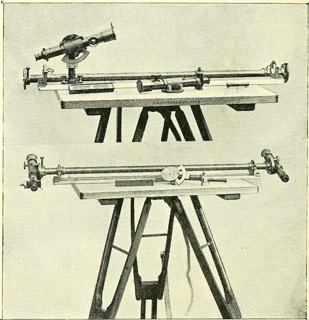
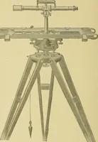
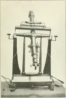
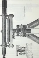
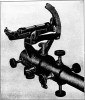
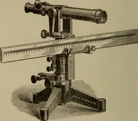
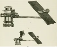
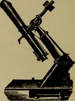
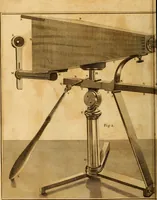
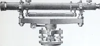
Fig. 58.—Plane-table with Reeves Folding Telescopic Alidade. appearance, and strange to say did not come into existenceuntil nearly a century later, when it was invented by E 50 MAPS AND MAP-MAKING Melchisedech Thevenot, so that in this plane-table of Prae-torius, the level is merely a plumb-bob on… … Fig. 59.—Plane-table with Reeves Distance Finder Alidade. plane-table. This, while serving as an excellent telescopicalidade of the usual type, can be so arranged by fixinga telescope at each end, that distances can be found directlywithout any computation. In America and on the Continent most…
Cartography · Surveying
Internet Archive · Wellesley College Library · Public Domain Mark 1.0. Free to use for anything.