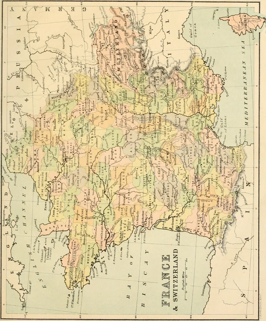
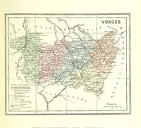
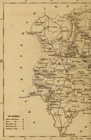
1) Alsace and part of Lorraine were ceded byFrance to Germany. The surface of France consists chiefly of uudtilating plains,except in the east, which is mountainous. The highest moun-tains in the south are the Pyrenees, forming the boundary ia it? How is France separated from Oermnnv? From… … ^. KUROPE. 55 between France and Spain. In the east are the AlpSj form-ing the boundary between France and Italy, with Blont Blanc,15,781 feet above the sea, the highest mountain in Europe; theJitra Mountains between France and Switzerland; and theVosoes Mountains between France and the lately…
Atlases
Internet Archive · Western University Libraries · Public Domain Mark 1.0. Free to use for anything.