Winsor, Justin, 1831-1897 · Boston ; New York : Houghton Mifflin & Co. · leaf 190
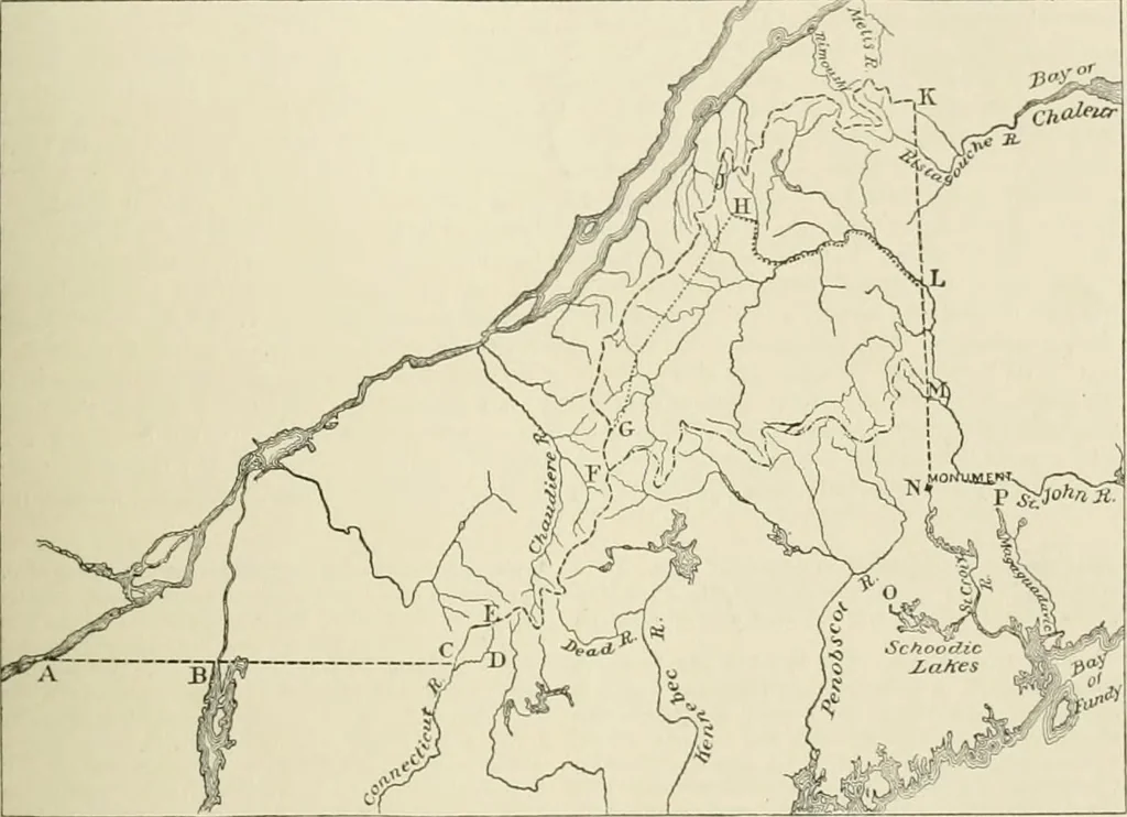
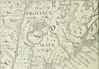
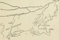
d by the Jay treaty that commissioners should be appointed by bothpowers to determine tlie question of the St. Croix Kiver and its divisionary branch. If the testimony of Mit-chells map was worth anything, there was 110 question that the easterly or Magaguadavic Kiver (MitchellsSt. Croix) was the… … NORTHERN AND EASTERN BOUNDS. Note to the Above Map. —The line beginning .it A on the St. Lawrence, as earlier run on the parallel 45 to C,crossing the outlet of Lake ChampLiin near Rouses Point, was found to be a trifle too far south of the true parallel, butby the treaty of 184? was confirmed on…
Cartography
Internet Archive · University of Toronto, Robarts Library · Public Domain Mark 1.0. Free to use for anything.