Winsor, Justin, 1831-1897, Maclean, John, 1851-1928, association, MacLean, Harrison John (autograph) · Boston ; New York : Houghton, Mifflin and Co. · leaf 251
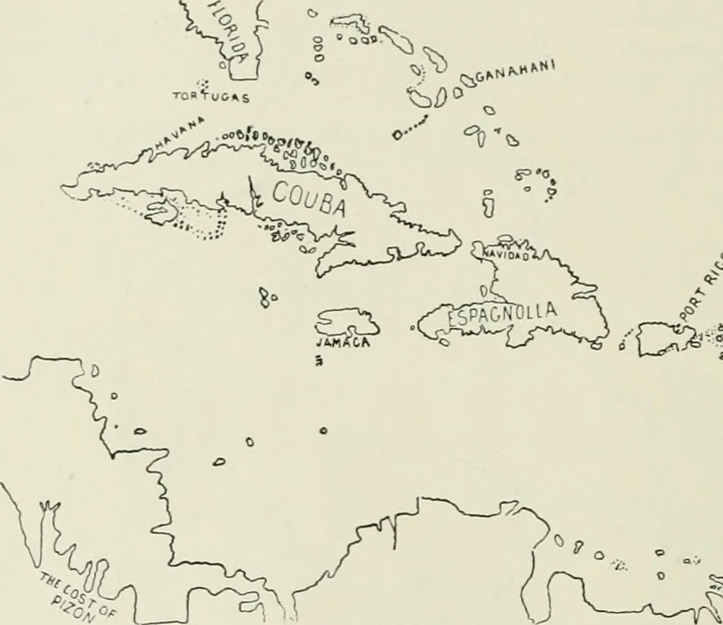
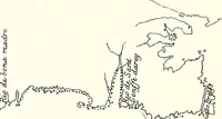
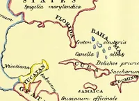
on the west coastof Florida, where Narvaez went, leads Kolil to suppose the map to have been drawn fromthat commanders reports. The sketch, which is annexed and marked Gulf of Mexico,1536, follows Kohls delineation in his Washington collection. We can further trace the geographical history of the… … (O^^p^ -*)• -V -20- .$• 5 ^ ROTZ, 1542. records the latitudes about three degrees too high for the larger islands, and about twodegrees too low for the more southern ones, making the distance between Florida andTrinidad too great by five degrees. The map is marked The Indis of Occident quhasthe…
Cartography
Internet Archive · University of Toronto, Robarts Library · Public Domain Mark 1.0. Free to use for anything.