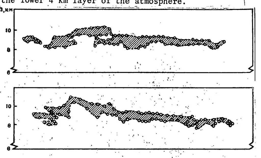
quite simple formula for the distribution of water vapor with altitude. Accord- ing to such a method, success was achieved in attaining a vertical profile of humidity for the lower 4 km layer of the atmosphere. '] … Figure 6. Results of Laser Sounding of Clouds of the Upper Stratum. The lower portion of the drawing shows a profile of the terrain where the measurements were conducted (California, USA). The triangles designate the location where the lidar was located; this lidar emit- ted pulses at various…
Data acquisition · Ground truth · Meteorological parameters · Michigan · EREP · Skylab program · Weather
Internet Archive · NASA Technical Reports · Public domain (US government work). Free to use for anything.