Putnam, G. R. (George Rockwell), b. 1865 · New York, J. Wiley & Sons; [etc.] · leaf 88
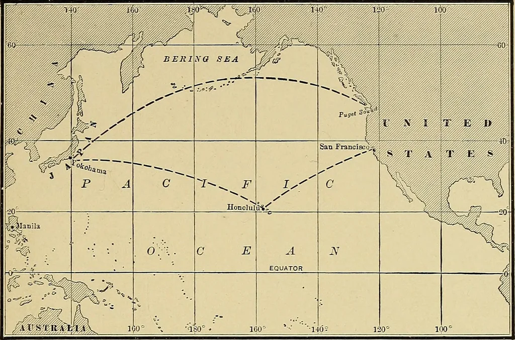
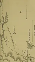
h the latitude, dis-tances can be taken from this chart with fair correctnessby the use of the latitude border scale for the middlelatitude, subdividing the total distance if there is muchrange of latitude. The inability to take off the greatcircle or shortest course directly from the mercatorchart… … FIG. 22. MERCATOR PROJECTION OF NORTH PACIFIC OCEAN, SHOWING GREATCIRCLE ROUTES YOKOHAMA TO PUGET SOUND, AND YOKOHAMA TO HONOLULUAND THENCE TO SAN FRANCISCO.
Nautical charts
Internet Archive · Library of Congress · Public Domain Mark 1.0. Free to use for anything.