Nautical charts
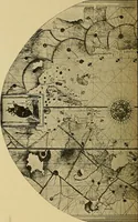
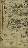
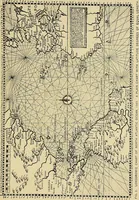
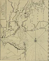
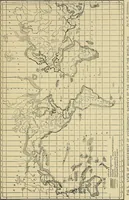
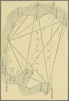
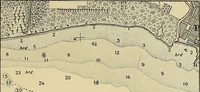
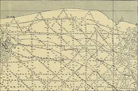
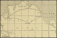
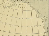
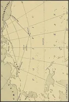
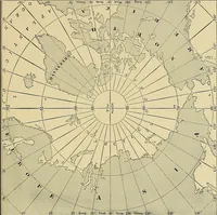
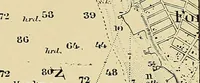
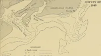
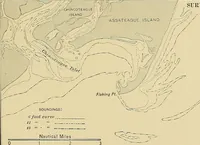
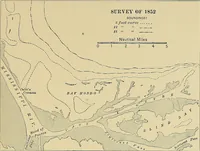
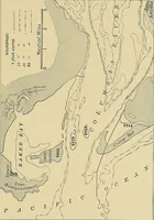
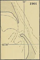
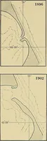
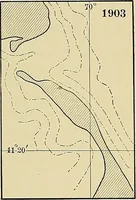
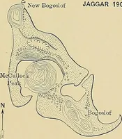
A technical manual on the making and use of nautical charts by George Rockwell Putnam, published in New York by John Wiley & Sons in 1908 for surveyors, hydrographers and mariners. Its plates are line maps and diagrams — world surveys on grids, shifting sandbars and soundings, great-circle routes, plus a reproduced eighteenth-century harbour chart with compass rose and rhumb lines.