The North end, a survey and a comprehensive plan (1919)
Boston (Mass.). City Planning Board, Cram, Ralph Adams, 1863-1942 · City of Boston, Printing department · leaf 13
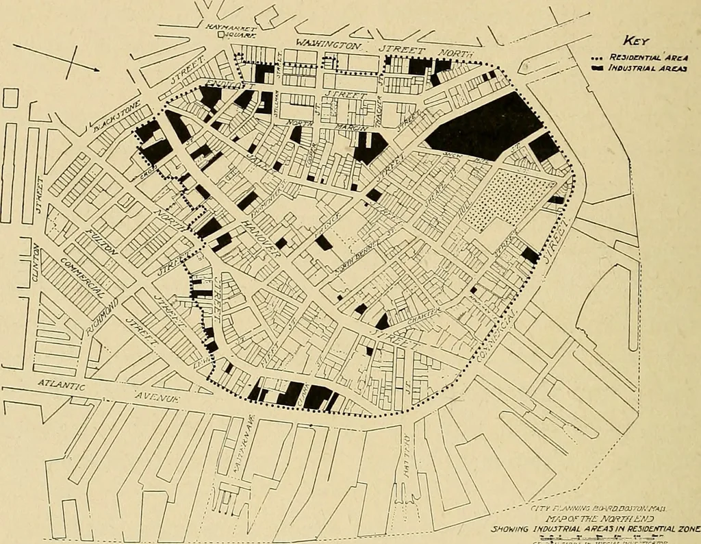
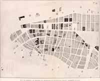
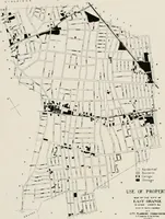
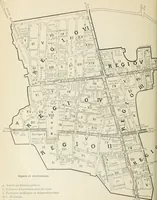
ses of study and comparison. City Planning Board. During the early history of the city, and up to the timeof the Revolution, the North End was an importantresidential center, and on the slopes of Copps Hill — themost important of the hills of the early colony — some ofthe fine old houses are still… … FIG. 2.— MAP SHOWING BOUNDARIES OF RESIDENTIAL ZONE, WITH NON-RESIDENTIAL AREAS.Residential area bounded by heavy dotted line. Black represents industrial areas. ments, but is still greatly in need of wholesale reformationif living conditions are to be made wholesome and agreeable. II.— HISTORICAL.…
Municipal services · City planning · Working class · Housing
Internet Archive · Boston Public Library · Public Domain Mark 1.0. Free to use for anything.