The North end, a survey and a comprehensive plan
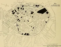
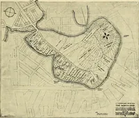
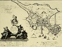
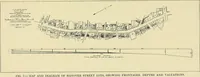
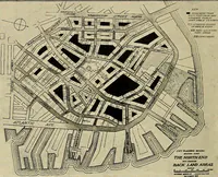
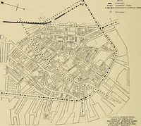
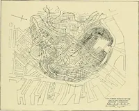
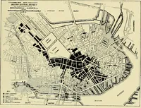
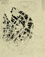
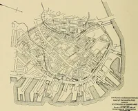
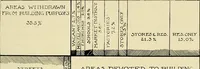
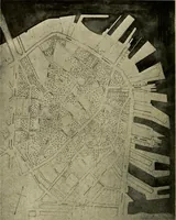
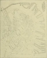
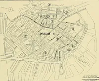
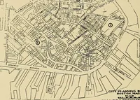
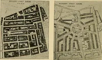
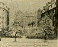
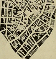
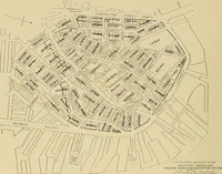
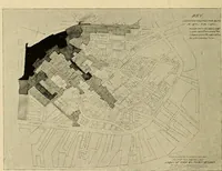
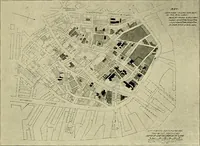
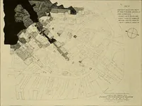
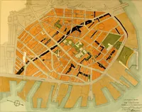
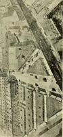
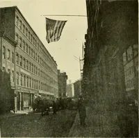
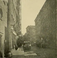
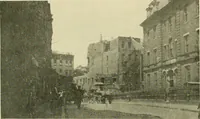
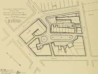
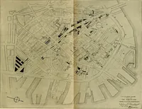
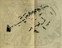
A municipal planning report on Boston's North End, prepared by the city's City Planning Board with Ralph Adams Cram and printed by the City of Boston in 1919 for officials and housing reformers. Its plates are line-drawn survey maps of the peninsula, with blocks filled solid black, hatched, or stippled to grade land values, density, and building condition, plus keys, wharf outlines, and compass roses.